ES
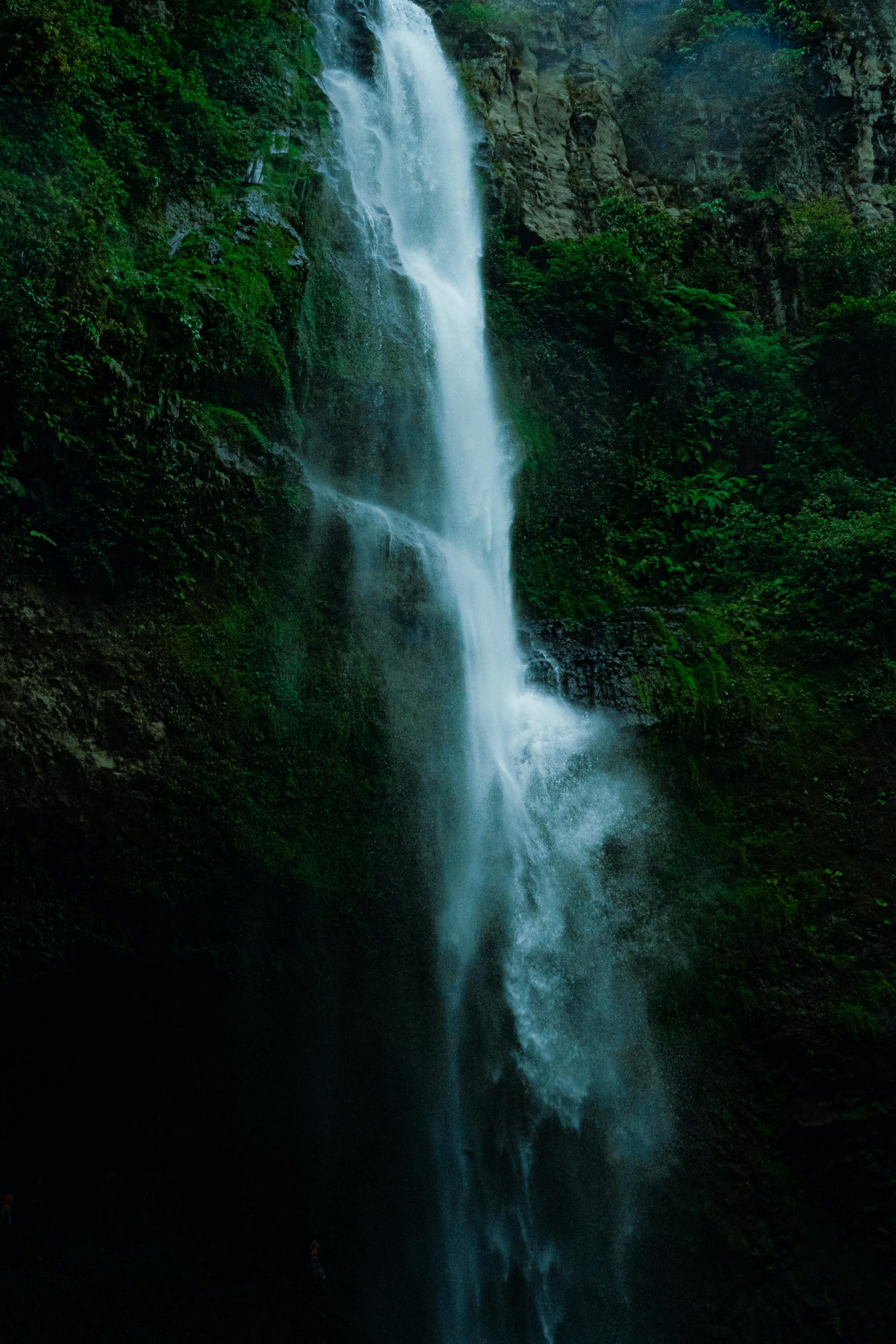
La Palma cuenta con 162 galerías y 75 pozos de agua, además de 150 manantiales, que en conjunto contribuyen a un caudal total de 75,31 hm³/año. Sin embargo, muchas de estas galerías y pozos están actualmente fuera de servicio. El agua captada se transporta y distribuye a través de canales, estando el sistema bien cartografiado y controlado. Debido a la topografía de la isla, la extracción de agua sin autorización es difícil.
EN
La Palma has 162 water galleries and 75 water wells, in addition to 150 springs, which together contribute to a total flow of 75.31 hm³/year. However, many of these galleries and wells are currently out of service.The captured water is transported and distributed through channels, with the system being well-mapped and controlled. Due to the island’s topography, unauthorized water extraction is difficult.
¿Cómo?
ES
Según el Plan Hidrológico de La Palma existente, existen 14 puntos de demanda de agua para consumo humano (municipios/ núcleos urbanos) con una demanda bruta de 8,63 hm³/año. Cada uno de estos puntos tendrá diferentes zonas de abastecimiento que deberán ser controladas. El Plan también identifica nueve áreas territoriales de regadío, divididas en zonas de consumo a diferentes cotas, con diversas superficies, tipos de cultivos y dotaciones de agua de riego. En un año seco, el consumo agrícola puede alcanzar los 70 hm³.
Un gemelo digital del sistema hídrico de La Palma proporcionará datos valiosos sobre las respuestas del acuífero a los cambios del sistema, combinando simulaciones hidráulicas con datos sobre salud pública, agricultura y riesgos naturales. Este modelo digital en evolución mejorará la toma de decisiones y pondrá de relieve las ventajas de la NbS.
EN
According to the existing Hydrological Plan of La Palma, there are 14 water demand points for human consumption (municipalities/urban centers) with a gross demand of 8.63 hm³/year. Each of these points will have different supply zones that need to be monitored. The Plan also identifies nine territorial areas of irrigation, divided into consumption zones at different elevations, with various surfaces, types of crops, and irrigation water provisions. In a dry year, agricultural consumption can reach up to 70 hm³.
A digital twin of La Palma’s water system will provide valuable data on aquifer responses to system changes, combining hydraulic simulations with data on public health, agriculture, and natural hazards. This evolving digital model will improve decision-making and highlight the benefits of NbS.
Objetivos
ES
La digitalización de Nature-based Solutions (NbS) en La Palma mejorará los sistemas de distribución y tratamiento de agua utilizando instrumentos de medición compatibles con IoT. Estos incluyen sensores para la calidad de las aguas subterráneas, caudalímetros para la extracción y el uso del agua, pluviómetros para las precipitaciones y analizadores de consumo energético.
La Palma Living Lab: Esta iniciativa creará una infraestructura de investigación para que los equipos europeos prueben y validen herramientas y métodos en un entorno realista, integrando los sistemas digitales y socioeconómicos de La Palma.
EN
The digitalization of Nature-based Solutions (NbS) on La Palma will enhance the water distribution and treatment systems using IoT-compatible measuring instruments. These include sensors for groundwater quality, flowmeters for water extraction and use, rain gauges for precipitation, and energy consumption analyzers.
La Palma Living Lab: This initiative will create a research infrastructure for European teams to test and validate tools and methods in a realistic environment, integrating La Palma’s digital and socio-economic systems.
Nature Based Solutions

Storage and gallery water mines hydraulic interferences

Emergency water storage

Reclaim water for irrigation

Storm water infiltration